Master Geothermal Monitoring with UAV Thermal Imaging

Geothermal monitoring plays a crucial role in the renewable energy landscape, with an installed capacity of 15.96 gigawatts electric (GWe) globally. As part of this monitoring process, the utilization of UAV thermal imaging cameras has emerged as a cutting-edge technology. This blog delves into the significance of geothermal monitoring, introduces the capabilities of UAV thermal imaging cameras, and provides an overview of the diverse content it will cover, including drone IR cameras and thermal imaging cameras for UAVs.
Understanding UAV Thermal Imaging
When it comes to UAV thermal imaging cameras, the technology behind them is truly remarkable. These devices are equipped with cutting-edge infrared thermal imaging detectors that enable them to capture thermal data with precision and accuracy. The integration of these detectors into UAVs has revolutionized the way geothermal monitoring is conducted.
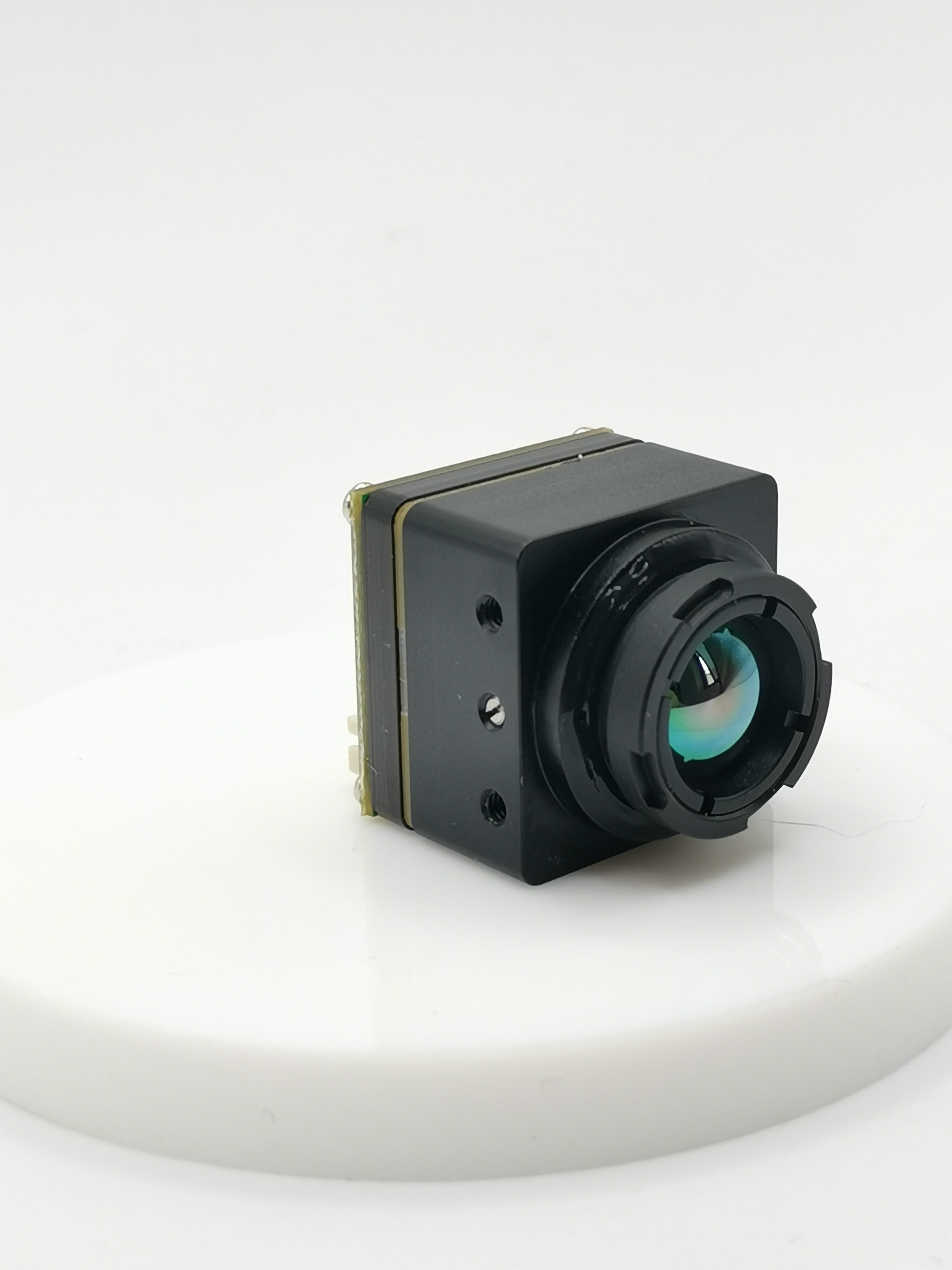
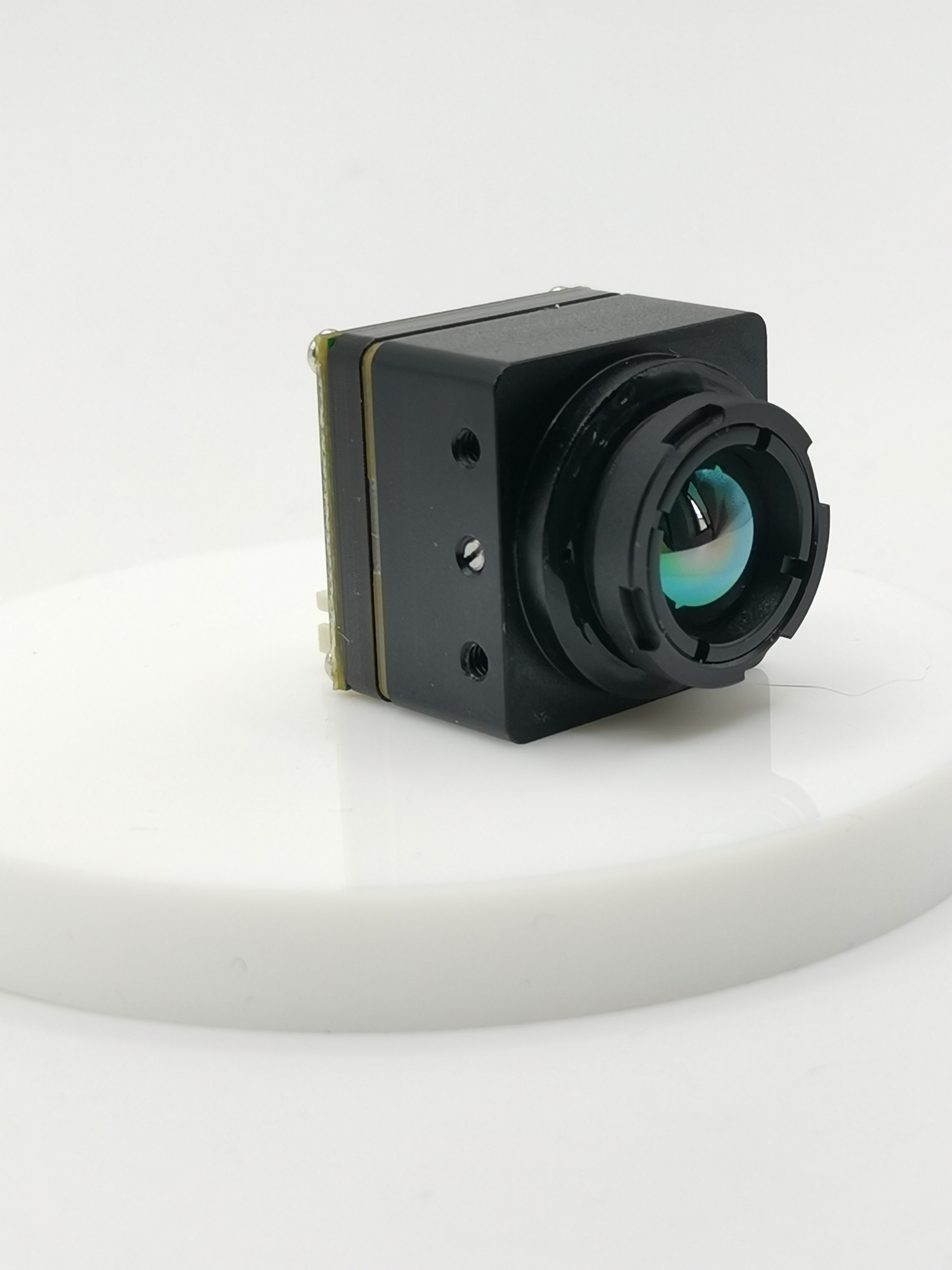
The iTherml Thermal Imaging Core SmartCor640 or MicroCor640 is a prime example of this advanced technology. This UAV drone, equipped with the iTherml thermal imaging core, can provide valuable information without the need to reach the field by foot. Such capabilities enhance efficiency and data collection in geothermal monitoring processes.
In addition to the sophisticated detectors, UAVs are seamlessly integrated with thermal imaging systems like the FLIR Vue Pro R 640 Thermal Camera. A recent pilot project in Athens, Georgia, showcased how a UAV equipped with this camera collected thermal data from two neighborhoods. This demonstrates the practical application and effectiveness of UAV thermal imaging cameras in real-world scenarios.
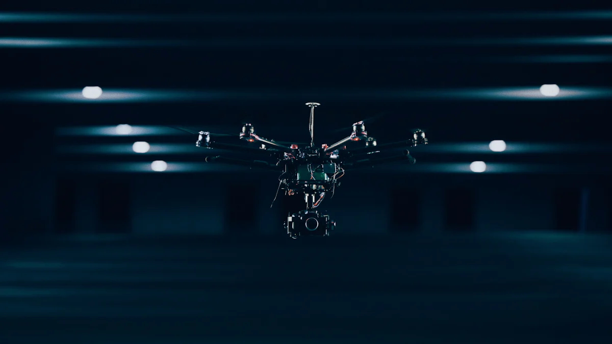
Various types of UAV thermal imaging cameras cater to different needs in geothermal monitoring. For instance, drones with thermal cameras offer precise control and stability, ensuring high-quality thermal imaging data with minimal motion artifacts. The use of tethered drones further enhances stability during data collection processes.
When considering drone IR cameras, their role in providing detailed thermal imagery cannot be understated. These specialized cameras contribute significantly to capturing accurate temperature differentials across geothermal sites. The utilization of such cameras elevates the quality and reliability of geothermal monitoring outcomes.
Moreover, incorporating a thermal imaging camera for UAVs enhances the overall capabilities of these aerial vehicles in conducting surveys and inspections. These cameras offer enhanced visibility and data collection abilities that are crucial for comprehensive geothermal monitoring practices.
Applications in Geothermal Monitoring
Benefits of UAV Thermal Imaging in Geothermal Monitoring
Day and Night Operation
When considering the benefits of UAV thermal imaging in geothermal monitoring, the capability for day and night operation stands out as a significant advantage. Equipped with advanced thermal imaging cameras, UAVs can conduct surveys and collect data round-the-clock without reliance on external light sources. This feature ensures continuous monitoring of geothermal sites, allowing for real-time insights into temperature differentials and heat anomalies.
Utilizing UAVs with thermal imaging capabilities during nighttime operations is particularly valuable. The ability to capture thermal data in low-light conditions enhances the efficiency and effectiveness of geothermal monitoring processes. By leveraging infrared technology, these drones can detect subtle temperature variations that may indicate underground geothermal activity, contributing to comprehensive resource assessment.
Moreover, the seamless transition between day and night operations facilitated by UAV thermal imaging cameras optimizes data collection efforts. The uninterrupted monitoring provided by these devices ensures that geoscientists and researchers can obtain a holistic view of geothermal fields over extended periods. This continuous surveillance is essential for identifying temporal changes in surface temperatures and geological features indicative of geothermal reservoirs.
High Spatial Resolution
Another key benefit of utilizing UAV thermal imaging in geothermal monitoring is the high spatial resolution it offers. Thermal imaging surveys conducted by drones enable detailed mapping of surface temperatures with exceptional precision. With a spatial resolution ranging from 5-10 cm, these surveys provide intricate details crucial for identifying localized hotspots and assessing subsurface conditions.
The high spatial resolution achieved through UAV thermal imaging cameras enhances the accuracy of temperature measurements across geothermal areas. By capturing fine-scale thermal data, these devices facilitate the identification of subtle variations that may signify underground fluid movement or heat transfer processes. This level of detail is instrumental in characterizing geothermal resources and optimizing exploration strategies.
Case Studies and Future Developments
Case Studies
Khankala Field
A study on monitoring geothermal fields using UAV thermal imaging cameras showcased the effectiveness of this technology in assessing geothermal water. The demonstration of UAV-based RGB and TIR imaging highlighted a valuable technique for monitoring and evaluating geothermal resources.
Surface heat monitoring in urban environments has emphasized the accuracy and applications of UAV thermal imaging. The potential of UAV-derived thermal data for tracking urban surface temperatures has been successfully demonstrated, showcasing the versatility of thermal imaging technologies.
Drones equipped with thermal cameras have proven instrumental in mapping geothermal areas. By capturing detailed thermal images, these drones assist in understanding geothermal processes and structures, providing crucial insights for geoscientists and researchers.
Other Examples
Remote thermographic imaging using UAV-based thermal cameras allows for the efficient production of surface temperature maps. This method enables the rapid mapping of geothermal surface expressions such as hot springs, steaming ground, and fumarolic activity, contributing to comprehensive resource assessment.
The inspection of tall buildings and bridges utilizing thermal imaging cores on UAVs has revolutionized traditional inspection methods. This approach provides valuable information without the need for manual intervention, enhancing efficiency and safety in structural assessments.
The power of drones equipped with thermal cameras extends beyond geothermal monitoring to various applications across industries. These drones serve as powerful tools for capturing and interpreting thermal data accurately, offering insights that drive informed decision-making processes.
Future Developments
Technological Advancements
"Continuous advancements in UAV technology are shaping the future of geothermal monitoring."
Ongoing technological developments focus on enhancing the capabilities of UAV thermal imaging cameras. Innovations aim to improve image resolution, increase flight endurance, and optimize data processing algorithms for more efficient geospatial analysis.
Integration of artificial intelligence (AI) algorithms into thermal imaging systems is a promising avenue for future development. AI-driven analytics can automate anomaly detection, streamline data interpretation, and enhance predictive modeling capabilities in geothermal monitoring applications.
UAV thermal imaging offers valuable efficiency in various industries, including public safety, inspection, and firefighting.
The technology is beneficial for reaching hazardous areas and conducting research or inspections in dark or partially occluded environments.
While extensively explored in agriculture, UAV thermal imaging remains underexplored in urban environments for surface temperature monitoring.
UAV-derived thermal data has the potential to monitor urban surface temperatures with careful model considerations.
Drones equipped with thermal cameras efficiently map geothermal surface expressions like hot springs and volcanic activity.
Combining thermal cameras with drones enhances surveillance capabilities over wider areas.
See Also
Transforming Field Equipment Monitoring Using Thermal Camera on FPV Drone
Dominating Surveillance and Reconnaissance with Drones Featuring Thermal Cameras
Perfecting Aerial Inspections and Surveillance with Mavic Pro Drone Thermal Camera
Innovating Field Equipment with Thermal Imaging Tech: T30 Drone's Thermal Camera Influence
The Definitive Manual for Radiometric Thermal Camera Drone U01-3.6/U01-10
iSun digitech limited
iSun was established in 2007, specialising in automotive electronics, providing integrated software and hardware solutions. Products include Thermal imaging, Night Vision,Car Multimedia player, LCD Smart Car Key, CarPlay AI Box.

Contact Us: Ms. Coco Huang
E-mail: sales@iasun.cn
WhatsApp/Wechat: +86 13510421923