Mastering Aerial Inspections and Surveillance with Flir Vue Thermal Imaging Drone Camera

Introduction to Thermal Imaging in Drones
Thermal imaging has revolutionized the capabilities of drones, offering a unique perspective that goes beyond what traditional cameras can capture. In this section, we will delve into the basics of thermal imaging and explore how it has evolved within the realm of drone technology.
The Basics of Thermal Imaging
Thermal imaging operates on the principle of detecting heat signatures emitted by objects, converting them into visible images. This is made possible through specialized thermal cameras that can detect infrared radiation. By understanding how thermal cameras work, we gain insight into their unparalleled utility for aerial inspections and surveillance.
Understanding How Thermal Cameras Work
Thermal cameras function by detecting the heat emitted by objects and translating this data into visible images. Unlike standard cameras that rely on visible light, thermal cameras operate in the infrared spectrum, allowing them to capture heat variances with exceptional precision.
The Advantages of Thermal Imaging for Drones
The integration of thermal imaging in drones offers numerous advantages, including the ability to conduct inspections and surveillance in low-light conditions. Moreover, thermal imaging enables the detection of temperature differentials, making it invaluable for applications such as search and rescue operations and wildlife monitoring.
The Evolution of Drone Cameras
Drone cameras have undergone a remarkable evolution from conventional visual recording devices to advanced thermal imaging systems. This transformation has significantly expanded the capabilities of drones in various industries and sectors.
From Standard Cameras to Advanced Thermal Imaging
The progression from standard cameras to advanced thermal imaging has empowered drones to provide critical data for applications such as infrastructure inspection, agriculture, security, and environmental conservation efforts.
How Thermal Imaging Has Changed the Game
The incorporation of thermal imaging technology has elevated the effectiveness and scope of drone operations. It has enabled enhanced situational awareness, improved efficiency in inspections, and facilitated new opportunities for aerial surveillance across diverse domains.
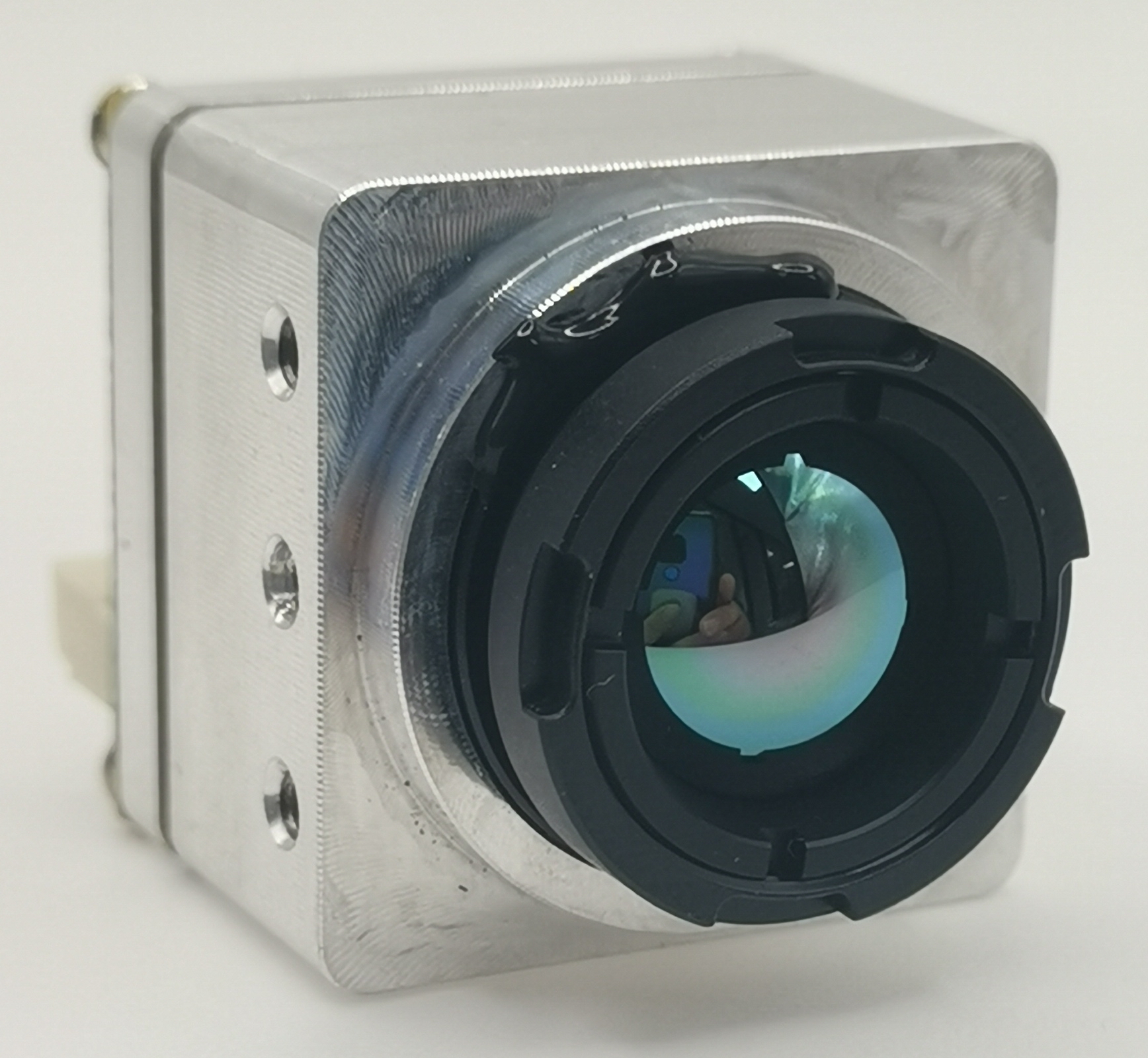
Exploring the Flir Vue Thermal Imaging Drone Camera
As we delve into the world of thermal imaging drone cameras, it's essential to understand the key features that set the Flir Vue thermal imaging drone camera apart from its counterparts. This section will explore the distinctive capabilities of the Flir Vue and compare it with the iSun analog FPV thermal camera, shedding light on their performance differences and use case scenarios.
Key Features of the Flir Vue Thermal Imaging Drone Camera
Resolution and Sensitivity
The Flir Vue thermal imaging drone camera boasts exceptional resolution and sensitivity, allowing for precise detection and visualization of heat differentials. With high-resolution thermal imagery, it provides unparalleled clarity in capturing temperature variations across diverse landscapes and structures.
Compatibility and Integration
One of the standout features of the Flir Vue thermal imaging drone camera is its seamless compatibility with various drone models, offering flexibility in integration for different aerial platforms. Its user-friendly interface and compatibility with popular drone systems make it a preferred choice for professionals seeking reliable thermal imaging solutions.
Comparing Flir Vue with iSun Analog FPV Thermal Camera
Performance Differences
When comparing the Flir Vue thermal imaging drone camera with the iSun analog FPV thermal camera, notable performance differences become evident. The Flir Vue excels in delivering higher resolution thermal images, providing enhanced clarity for detailed analysis and interpretation.
Use Case Scenarios
The choice between the Flir Vue thermal imaging drone camera and the iSun analog FPV thermal camera depends on specific use case scenarios. The Flir Vue is well-suited for applications requiring meticulous temperature monitoring, such as infrastructure inspections, wildlife conservation efforts, and search and rescue operations. On the other hand, the iSun analog FPV thermal camera may be more suitable for scenarios where a lower resolution is acceptable but cost-effectiveness is a priority.
Practical Applications of Thermal Imaging in Aerial Inspections
Thermal imaging technology has opened up a myriad of practical applications for aerial inspections, providing invaluable insights across diverse sectors. From agriculture and land management to infrastructure and construction, thermal imaging in drones has proven to be a game-changer, offering enhanced capabilities for monitoring and analysis.
Agriculture and Land Management
In the realm of agriculture and land management, thermal imaging plays a pivotal role in optimizing crop health and resource utilization. The ability to monitor crop health from an aerial perspective enables farmers to identify areas of concern and implement targeted interventions for improved yields.
Monitoring Crop Health
Thermal imaging facilitates the early detection of stress factors in crops by capturing temperature differentials that indicate variations in plant health. This enables farmers to address issues such as water stress, nutrient deficiencies, or pest infestations with precision, leading to more effective agricultural practices.
Land and Water Management
Beyond crop monitoring, thermal imaging aids in the management of land and water resources. By detecting variations in soil moisture levels and identifying irrigation patterns, thermal data empowers land managers to optimize water usage while minimizing wastage, contributing to sustainable agricultural practices.
Infrastructure and Construction
The integration of thermal imaging technology has significantly enhanced the efficiency and accuracy of aerial inspections within the infrastructure and construction domains. From building assessments to energy audits, thermal imaging provides comprehensive insights that are instrumental in maintaining structural integrity and operational efficiency.
Inspecting Buildings and Structures
Thermal imaging enables inspectors to identify anomalies such as moisture intrusion, insulation deficiencies, or structural irregularities that may not be visible through traditional visual inspections. This capability is particularly valuable for assessing the condition of buildings and infrastructure components with precision.
Energy Audits and Efficiency
In the context of energy audits, thermal imaging serves as a powerful tool for evaluating heat loss, air leakage, and insulation effectiveness within buildings. By pinpointing areas of energy inefficiency, thermal data facilitates targeted improvements that contribute to reduced energy consumption and operational cost savings.
Enhancing Surveillance with FPV Thermal Cameras
In the realm of security and surveillance, the utilization of FPV thermal cameras has redefined the capabilities of aerial monitoring and reconnaissance. This section will delve into the diverse applications of FPV thermal cameras, encompassing critical areas such as perimeter security, search and rescue operations, as well as wildlife monitoring and conservation efforts.
Security and Surveillance Applications
Perimeter Security
The deployment of FPV thermal cameras for perimeter security offers an unparalleled advantage in detecting intrusions and unauthorized activities across expansive areas. By leveraging thermal imaging technology, security personnel can effectively monitor perimeters during both day and night, identifying potential threats with precision. The ability to detect heat signatures enables proactive responses to security breaches, enhancing overall situational awareness and threat mitigation.
Search and Rescue Operations
In the context of search and rescue operations, FPV thermal cameras play a pivotal role in locating individuals in challenging environments or under adverse conditions. The capability to detect body heat signatures facilitates swift identification of missing persons or individuals in distress, expediting rescue efforts with heightened efficiency. Whether deployed from drones or ground-based platforms, FPV thermal cameras provide invaluable support in life-saving missions by overcoming visibility limitations posed by natural or environmental factors.
Wildlife Monitoring and Conservation
Tracking Animal Movements
The application of FPV thermal cameras for wildlife monitoring enables researchers and conservationists to track animal movements with enhanced precision. By capturing thermal signatures unique to different species, these cameras facilitate non-intrusive observation of wildlife behavior without disrupting their natural habitats. This capability is particularly valuable for studying nocturnal animals or elusive species that are challenging to observe through conventional visual means.
Anti-Poaching Efforts
In the realm of anti-poaching efforts, FPV thermal cameras serve as a formidable tool in combating illegal wildlife activities. The ability to detect human presence through heat signatures aids in identifying poachers operating under the cover of darkness or dense foliage. By integrating thermal imaging technology into anti-poaching initiatives, conservation organizations bolster their surveillance capabilities, contributing to the protection of endangered species and biodiversity hotspots.
Getting Started and Best Practices
Now that we have explored the capabilities of thermal imaging drone cameras, it's essential to understand the key considerations for choosing the right thermal imaging drone camera and best practices for mastering aerial inspections and surveillance.
Choosing the Right Thermal Imaging Drone Camera
When selecting a thermal imaging drone camera, several factors come into play to ensure that it aligns with specific operational requirements. Resolution, sensitivity, compatibility with existing drone systems, and cost-effectiveness are crucial considerations. The Flir Vue thermal imaging drone camera offers exceptional resolution and sensitivity, making it suitable for applications requiring meticulous temperature monitoring. On the other hand, the iSun analog FPV thermal camera provides a cost-effective alternative without compromising on performance in scenarios where lower resolution is acceptable.
Factors to Consider
Resolution: The clarity and detail of thermal images are determined by the camera's resolution, impacting the precision of temperature differentials captured during aerial inspections.
Sensitivity: A high level of sensitivity enables the detection of subtle heat variations, essential for applications such as wildlife monitoring and infrastructure inspections.
Compatibility: Seamless integration with diverse drone models enhances operational flexibility and adaptability across various aerial platforms.
Cost-effectiveness: Balancing performance with cost considerations is vital to optimize resource allocation for thermal imaging solutions.
Tips for Mastering Aerial Inspections and Surveillance
Mastering aerial inspections and surveillance requires a strategic approach encompassing flight planning, safety protocols, and effective data analysis techniques. These best practices are instrumental in maximizing the utility of thermal imaging drone cameras while ensuring operational efficiency and safety.
Flight Planning and Safety
Prioritize thorough pre-flight planning to determine optimal routes for capturing comprehensive thermal data.
Adhere to aviation regulations and safety guidelines to mitigate potential risks associated with aerial operations.
Conduct regular equipment checks and maintenance to uphold the reliability of both drones and thermal imaging cameras.
Data Analysis and Interpretation
Implement systematic data collection methodologies during aerial inspections to ensure comprehensive coverage of target areas.
Utilize specialized software tools for processing thermal imagery, enabling detailed analysis of temperature differentials across diverse landscapes.
Collaborate with industry experts or consultants to derive actionable insights from thermal data, enhancing decision-making processes.
See Also
Perfecting Aerial Monitoring Using Thermal Imaging Camera Drone Mavic Pro
Mastery of Aerial Monitoring with Thermal Imaging Drone: A Comprehensive Guide
Becoming Proficient in Surveillance and Reconnaissance with Thermal Imaging Drones
Expertise in FPV Thermal Camera Tech for Drone Monitoring
Achieving Mastery in Drone Monitoring: Using Analog FPV Thermal Camera
iSun digitech limited
iSun was established in 2007, specialising in automotive electronics, providing integrated software and hardware solutions. Products include Thermal imaging, Night Vision,Car Multimedia player, LCD Smart Car Key, CarPlay AI Box.

Contact Us: Ms. Coco Huang
E-mail: sales@iasun.cn
WhatsApp/Wechat: +86 13510421923