Discover the Best 7 Thermal Imaging Drones of 2024
Thermal imaging drones play a vital role in various scenarios, from fire detection to search and rescue missions. The technology's evolution has made drone thermal cameras more precise, versatile, and affordable, expanding their applications across industries. With advancements in technology, these drones are becoming more accessible, offering unparalleled capabilities for users. This blog aims to showcase the top thermal imaging drones of 2024, providing insights into their features and benefits, including the integration of thermal imaging cameras on drones for enhanced performance.
Overview of Thermal Imaging Drones
Understanding how thermal imaging drones function can inspire more effective utilization of the technology and innovative deployment strategies for drones equipped with thermal cameras. These drones play a crucial role in a wide range of applications, thanks to their precise sensors and more affordable price points that have opened up new possibilities. The advancements in thermal drone technology have revolutionized industries by providing enhanced capabilities for users across various sectors.
Importance of Thermal Imaging Drones
Applications in Various Fields
Wildlife Conservation: Thermal imaging drones aid in wildlife surveys, especially in dense forest areas where traditional methods fall short.
Search and Rescue Operations: These drones are instrumental in locating missing persons or animals, even in challenging terrains or low-light conditions.
Law Enforcement: Thermal drones enhance law enforcement operations by detecting heat signatures of individuals or animals during critical situations.
Industrial Inspections: They facilitate efficient inspections of infrastructure like pipelines, solar panels, and buildings for maintenance purposes.
Technological Advancements
Enhanced Sensor Precision: The sensors on modern thermal imaging drones offer higher accuracy and detailed thermal imaging capabilities.
Increased Affordability: Lower price points make these advanced technologies accessible to a broader range of users for diverse applications.
Improved Durability: The durability of these drones ensures reliable performance even in demanding environments.
Key Features to Consider
Camera Quality
High-Resolution Imaging: Drones with superior camera quality provide clear and detailed thermal images for accurate analysis.
Radiometric Capabilities: Radiometric cameras enable precise temperature measurements, enhancing the drone's functionality.
Flight Time
Extended Operation Periods: Longer flight times allow users to cover larger areas without frequent battery changes, increasing operational efficiency.
Ease of Use
User-Friendly Interface: Intuitive controls and interfaces make operating thermal imaging drones straightforward for both beginners and experienced users.
Quick Setup: Easy setup procedures ensure minimal downtime between preparing the drone for flight missions.
Top 7 Thermal Imaging Drones
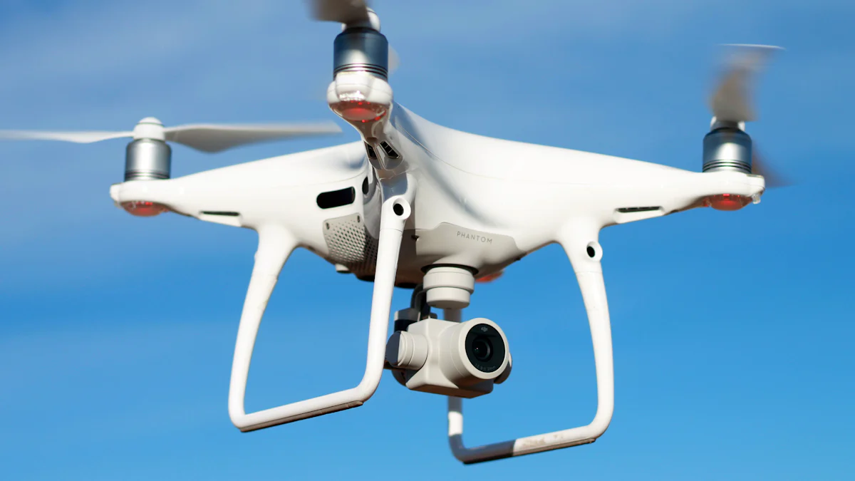
DJI Mavic 3 Thermal
Key Features
High-Resolution Imaging: Captures detailed thermal images for precise analysis.
Radiometric Capabilities: Enables accurate temperature measurements during operations.
Extended Flight Time: Offers an impressive 36-42 minutes of continuous flight.
Benefits
Enhances Efficiency: Increases operational efficiency with extended flight times.
Ensures Precision: Provides clear and detailed thermal imaging for accurate analysis.
Facilitates Versatility: Enables diverse applications with radiometric capabilities.
Applications
Industrial Inspections: Ideal for inspecting infrastructure like pipelines and solar panels.
Search and Rescue Missions: Aids in locating missing persons or animals effectively.
Wildlife Surveys: Assists in surveying wildlife in challenging terrains.
Parrot ANAFI USA
Key Features
Powerful Thermal Camera: Equipped with a high-quality thermal camera for enhanced performance.
Compact Design: Portable and easy to carry for on-the-go missions.
Real-Time Data Transmission: Provides instant feedback for efficient decision-making.
Benefits
Promotes Mobility: Allows users to carry out missions conveniently with its compact design.
Ensures Real-Time Monitoring: Facilitates quick decision-making with instant data transmission.
Enhances Performance: The powerful thermal camera improves overall drone functionality.
Applications
First Responders Support: Assists firefighters and emergency responders in critical situations.
Surveillance Operations: Ideal for monitoring areas and providing real-time data feedback.
Infrastructure Inspections: Efficiently inspects buildings and structures for maintenance purposes.
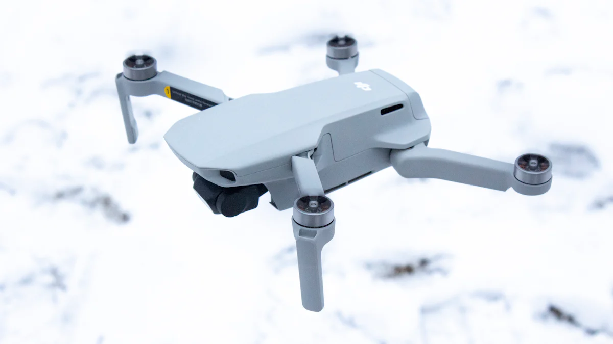
Autel Evo II Dual 640t
Key Features
Dual Camera System: Integrates both visual and thermal cameras for comprehensive imaging.
Long Range Capabilities: Allows exploration of distant areas with precision imaging capabilities.
Benefits
Improves Visibility: Offers dual camera support for enhanced visibility during operations.
Expands Reach: Long-range capabilities enable exploration of vast territories efficiently.
Applications
Aerial Photography: Perfect for capturing stunning visuals from unique perspectives.
Security Surveillance: Enhances security measures by providing detailed aerial surveillance data.
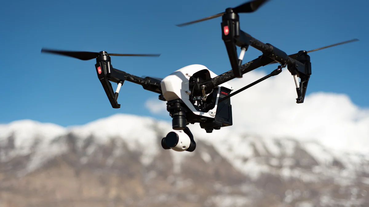
Mavic 2 Enterprise Dual
Key Features
Dual Camera System: Integrates both a visual and thermal camera for comprehensive imaging capabilities.
Enhanced Durability: Designed to withstand challenging environments for reliable performance.
Precise Navigation: Advanced navigation systems ensure accurate flight paths for optimal results.
Benefits
Increases Efficiency: The dual camera system enhances visibility during operations, improving overall efficiency.
Ensures Reliability: With enhanced durability, the drone can perform consistently in various conditions.
Facilitates Precision: Precise navigation features enable accurate maneuvering for detailed imaging tasks.
Applications
Industrial Inspections: Ideal for inspecting infrastructure like pipelines and power lines with enhanced visual and thermal capabilities.
Emergency Response: Supports quick assessment of emergency situations by providing real-time visual data for decision-making.
Environmental Monitoring: Enables monitoring of environmental changes and wildlife habitats with detailed thermal imaging.
Yuneec H520 with E10T
Key Features
High-Resolution Thermal Imaging: Equipped with a high-quality thermal imager for clear and detailed thermal analysis.
Extended Flight Time: Offers an extended operational period to cover larger areas efficiently.
Real-Time Data Transmission: Provides instant feedback on thermal imaging data for immediate action.
Benefits
Enhances Visibility: The high-resolution thermal imaging ensures clear visuals for precise analysis in various scenarios.
Improves Productivity: Extended flight time allows users to accomplish more tasks without interruptions, increasing productivity.
Enables Quick Decisions: Real-time data transmission facilitates prompt decision-making based on live thermal imaging feedback.
Applications
Infrastructure Maintenance: Efficiently inspects buildings, bridges, and other structures using high-resolution thermal imaging technology.
Agricultural Monitoring: Supports farmers in assessing crop health and irrigation needs through detailed aerial thermal surveys.
Security Surveillance: Enhances security measures by providing real-time thermal data for monitoring large areas effectively.
Skydio X2
Key Features
Advanced Obstacle Avoidance: Utilizes cutting-edge technology to navigate complex environments safely without collisions.
High-Speed Performance: Capable of swift maneuvers while maintaining stability for precise aerial operations.
Intelligent Flight Modes: Offers automated flight modes for seamless control and optimized performance.
Benefits
Ensures Safety: Advanced obstacle avoidance features prevent collisions, ensuring safe flights in challenging surroundings.
Enhances Agility: High-speed performance enables rapid responses during missions, improving overall agility and efficiency.
Simplifies Operations: Intelligent flight modes streamline control processes, making aerial tasks more accessible and user-friendly.
Applications
Filmmaking Industry: Ideal for capturing dynamic shots with precision and speed in filmmaking productions or aerial photography projects.
Inspection Services: Supports efficient inspections of infrastructure or hard-to-reach areas by providing stable flight performance and obstacle avoidance capabilities.
Surveillance Missions: Facilitates surveillance operations by offering advanced maneuverability and intelligent flight modes to monitor specific locations effectively.
FLIR Vue Pro R
Key Features
High-Resolution Imaging: Captures detailed thermal images with precision and clarity.
Radiometric Capabilities: Enables accurate temperature measurements for enhanced analysis.
Lightweight Design: Facilitates easy integration onto drones without compromising performance.
Benefits
Enhances Visibility: The high-resolution imaging ensures clear and detailed thermal analysis in various scenarios.
Improves Efficiency: Radiometric capabilities allow for precise temperature measurements, optimizing operational outcomes.
Streamlines Operations: The lightweight design of the FLIR Vue Pro R promotes seamless integration onto drones, enhancing overall performance.
Applications
Industrial Inspections: Ideal for inspecting infrastructure like pipelines and power lines with high-quality thermal imaging capabilities.
Environmental Monitoring: Supports monitoring environmental changes and wildlife habitats through detailed thermal analysis.
Security Surveillance: Enhances security measures by providing real-time thermal data for effective monitoring.
Conclusion
The future of thermal imaging drones is brighter than ever, with cutting-edge technology paving the way for unprecedented advancements in aerial surveillance and data acquisition. As we delve into 2024, the realm of drone technology continues to evolve rapidly, offering users a myriad of possibilities and applications. The top-tier thermal imaging drones highlighted in this blog exemplify innovation at its finest, showcasing the pinnacle of performance and functionality.
In a world where precision and efficiency are paramount, these drones stand out as beacons of reliability and excellence. From industrial inspections to search and rescue missions, each drone serves as a testament to the transformative power of thermal imaging technology. With features like high-resolution imaging, extended flight times, and real-time data transmission capabilities, these drones empower users to tackle challenges with unparalleled ease and accuracy.
As industries across the globe embrace the potential of thermal imaging drones, the impact on various sectors is undeniable. Whether it's enhancing wildlife conservation efforts or revolutionizing emergency response procedures, these drones play a pivotal role in shaping a safer and more efficient future. The integration of advanced sensors and radiometric capabilities has opened up new frontiers for exploration and discovery, propelling us into an era where possibilities are limitless.
In conclusion, the best 7 thermal imaging drones of 2024 represent not just technological marvels but also invaluable tools that drive progress and innovation. As we look ahead to what lies beyond, one thing remains certain: the journey towards excellence never ends. Embrace the power of thermal imaging drones, unlock their full potential, and soar to new heights of success in a world where every detail matters.
See Also
Selecting the Top Drone with Thermal Imaging Camera Tips
Discovering Great Deals for Drone Thermal Cameras
Selecting the Finest FPV Thermal Camera for Drone Use
iSun digitech limited
iSun was established in 2007, specialising in automotive electronics, providing integrated software and hardware solutions. Products include Thermal imaging, Night Vision,Car Multimedia player, LCD Smart Car Key, CarPlay AI Box.

Contact Us: Ms. Coco Huang
E-mail: sales@iasun.cn
WhatsApp/Wechat: +86 13510421923