The Impact of Thermal Imaging Camera on Drone-Based Aerial Surveying

Exploring the Basics of Thermal Imaging and Drones
What is a Thermal Imaging Camera?
A thermal imaging camera is a device that captures the heat signatures emitted by objects and converts them into visible images. Understanding heat signatures is crucial as it allows us to see variations in temperature, making it possible to identify objects or areas that may not be visible to the naked eye. The components of a thermal camera include a lens, detector, and electronics for image processing. These components work together to capture infrared radiation and translate it into thermal images.
The Role of Drones in Aerial Surveying
Drones play a pivotal role in aerial surveying due to their agility, flexibility, and cost-effectiveness. But why use drones? They enable us to access hard-to-reach or hazardous areas with ease, allowing for efficient data collection. When it comes to types of drones for surveying, there are various options available, including fixed-wing drones for large-scale mapping and quadcopters for close-range inspections.
How Thermal Cameras Enhance Drone Surveying
The Integration of Thermal Cameras in Drones
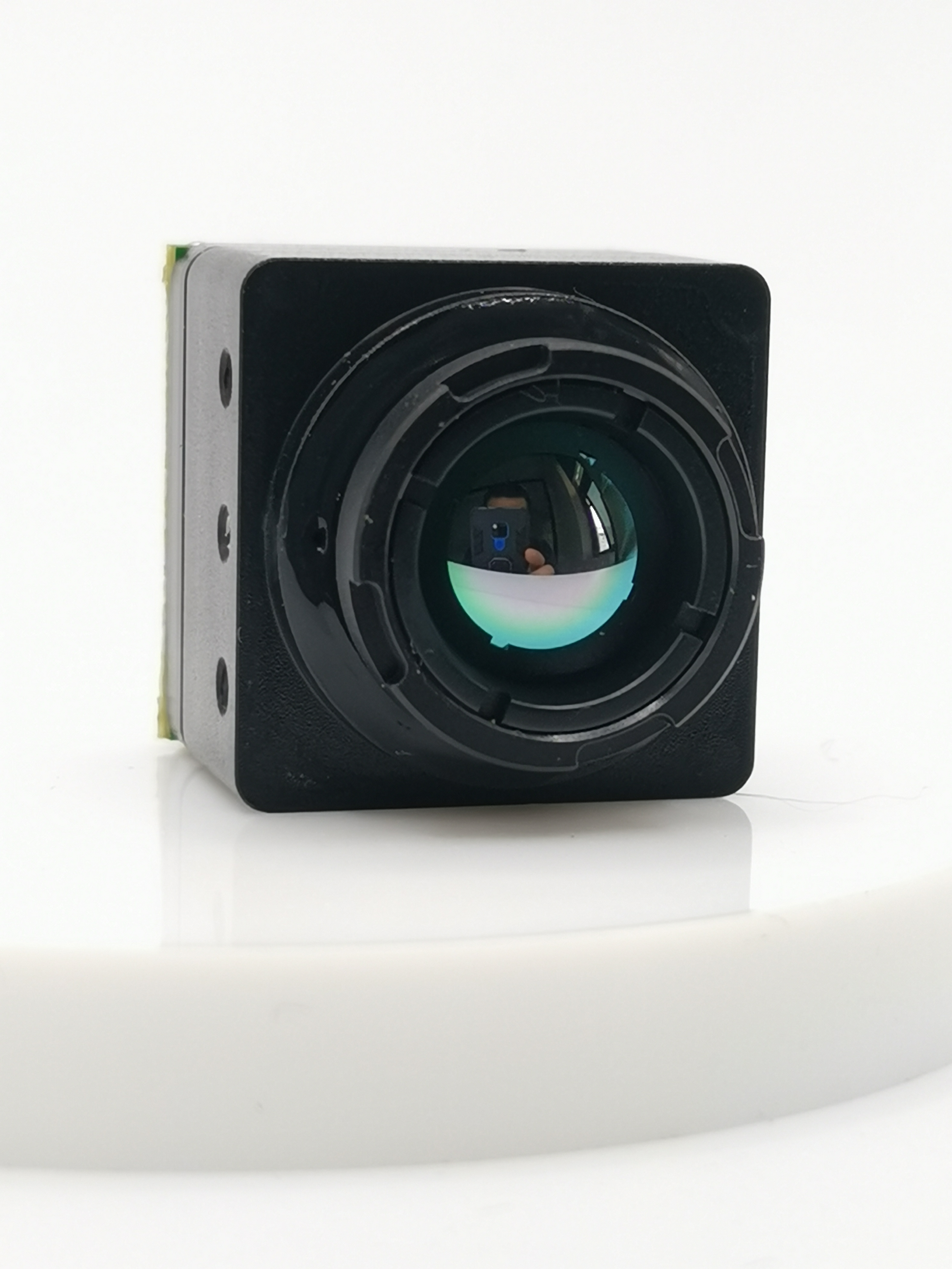
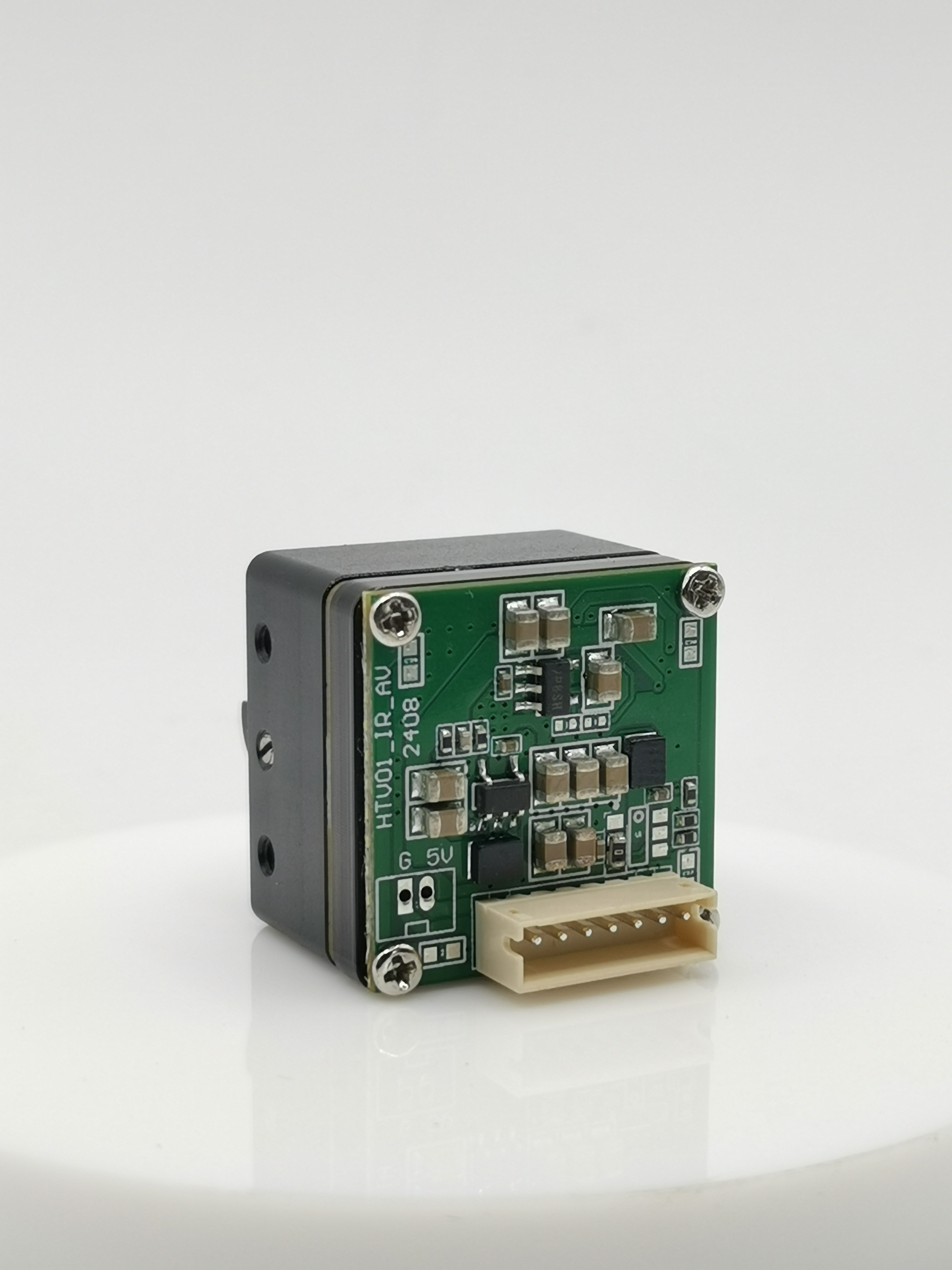
When it comes to enhancing drone surveying, the integration of thermal cameras plays a pivotal role in expanding the capabilities of these unmanned aerial vehicles. One notable case study is the isun Thermal Camera, which has revolutionized the way drones capture and interpret thermal data. This innovative technology has opened up new possibilities for applications such as infrastructure inspection, agriculture monitoring, and disaster management.
The isun Thermal Camera is equipped with advanced sensors and optics that enable it to detect and capture infrared radiation emitted by objects or areas. By integrating this cutting-edge camera into drones, professionals can now conduct detailed aerial surveys with unprecedented accuracy and efficiency. The high-resolution thermal images obtained from the isun Thermal Camera provide valuable insights into temperature differentials across various landscapes, making it an indispensable tool for a wide range of industries.
Another aspect that enhances drone surveying is how drones and thermal cameras work seamlessly together to collect crucial data. As drones navigate through diverse terrains, the embedded thermal imaging camera captures real-time thermal imagery, allowing operators to identify anomalies or heat signatures that may indicate structural issues or environmental changes. This integration empowers professionals to make informed decisions based on comprehensive thermal data, leading to more effective resource allocation and problem-solving.
Benefits of Using Thermal Imaging Cameras on Drones
The utilization of thermal imaging cameras on drones offers a multitude of benefits that significantly enhance aerial surveying capabilities. One key advantage is the improved accuracy in data collection. By leveraging the capabilities of thermal cameras, drones can capture precise thermal images that reveal temperature variations with exceptional clarity. This level of accuracy enables professionals to identify potential issues such as energy inefficiencies in buildings, pipeline leaks, or hotspots in electrical systems with unparalleled precision.
Moreover, accessing hard-to-reach areas becomes remarkably feasible with the deployment of thermal imaging cameras on drones. These compact yet powerful devices enable operators to conduct surveys in challenging environments without compromising safety or data quality. Whether it's inspecting remote infrastructure, monitoring wildlife habitats, or assessing disaster-stricken regions, the combination of drones and thermal imaging technology provides unparalleled access to critical areas that were previously inaccessible using traditional methods.
Real-World Applications of Drone-Based Thermal Imaging
Drone-based thermal imaging has revolutionized disaster assessment and management, offering invaluable insights into critical situations. By harnessing the capabilities of thermal cameras integrated into drones, professionals can swiftly respond to emergencies and mitigate potential risks.
Disaster Assessment and Management
Identifying Hotspots in Wildfires
The utilization of thermal imaging cameras on drones has significantly enhanced the ability to identify hotspots in wildfires. These high-tech devices can detect temperature differentials with exceptional precision, allowing firefighters to pinpoint areas of intense heat that may indicate active fire fronts or hidden embers. By swiftly identifying these hotspots, emergency responders can strategically allocate resources and contain the spread of wildfires more effectively.
Surveying Damage After Natural Disasters
In the aftermath of natural disasters such as hurricanes, earthquakes, or floods, drone-based thermal imaging plays a pivotal role in surveying damage. Equipped with advanced thermal imaging technology, drones can capture detailed thermal images of affected areas, revealing structural damages or hazards that may not be visible through traditional assessments. This comprehensive aerial surveying enables rapid response teams and relief organizations to assess the extent of destruction and plan targeted recovery efforts efficiently.
Infrastructure and Urban Planning
Inspecting Buildings and Bridges
The integration of thermal cameras into drones has transformed the inspection processes for buildings and bridges. These cutting-edge devices enable inspectors to detect anomalies such as moisture intrusion, insulation deficiencies, or structural weaknesses by capturing thermal images that reveal temperature variations. By conducting aerial inspections with drones equipped with thermal imaging technology, engineers and architects gain valuable insights into the condition of infrastructure assets, facilitating proactive maintenance and ensuring public safety.
Urban Heat Island Mapping
Drones equipped with thermal imaging cameras are instrumental in mapping urban heat islands – areas characterized by elevated temperatures due to human activities and urbanization. By capturing thermal data from various locations within urban environments, these aerial surveys provide crucial information about temperature differentials across neighborhoods. This data is essential for urban planners and policymakers to implement strategies for mitigating heat-related issues, enhancing energy efficiency, and improving overall livability within cities.
Looking Ahead: The Future of Thermal Imaging in Drones
As technology continues to advance, the future of thermal imaging in drones holds promising developments that will further enhance their capabilities and applications.
Technological Advancements in Thermal Cameras
Smaller, More Efficient Cameras
The evolution of thermal cameras is trending towards smaller and more efficient designs, enabling seamless integration with drones without compromising image quality. These compact yet powerful cameras leverage cutting-edge sensor technologies to capture high-resolution thermal images with exceptional clarity. The reduction in size and weight of these cameras enhances the maneuverability and endurance of drones, paving the way for extended aerial surveying missions across diverse environments.
Integration with AI for Enhanced Analysis
The integration of thermal cameras with artificial intelligence (AI) algorithms is poised to revolutionize data analysis and interpretation. By harnessing the power of AI, thermal images captured by drones can undergo advanced processing to identify patterns, anomalies, and trends that may not be immediately apparent to human operators. This enhanced analytical capability empowers professionals to extract valuable insights from thermal data, leading to more informed decision-making in various fields such as infrastructure inspection, environmental monitoring, and disaster management.
Expanding Applications and Uses
Agriculture and Environmental Monitoring
The future of thermal imaging in drones holds immense potential for transforming agriculture practices and environmental monitoring. With the ability to capture detailed thermal images of crop fields, orchards, and forests, drones equipped with thermal cameras can provide farmers and environmental scientists with invaluable data on plant health, water stress levels, and ecosystem dynamics. This real-time thermal monitoring enables proactive interventions to optimize agricultural productivity and preserve natural habitats.
Security and Surveillance
In the realm of security and surveillance, the integration of thermal imaging technology into drones offers unparalleled advantages for safeguarding critical infrastructure, border control, and public safety. Drones equipped with advanced thermal cameras can detect intrusions, monitor perimeter areas, and conduct nocturnal surveillance with heightened precision. The use of thermal imagery enhances situational awareness for security personnel by revealing hidden threats or unauthorized activities that may evade conventional surveillance methods.
See Also
Investigating the Influence of Thermal Imaging Cameras on Drone Tech
Benefits of Utilizing Thermal Imaging Camera for Drones
Analyzing the Effect of Thermal Imaging Cameras on Drones in 2024
The Benefits of Thermal Imaging Cameras in Field Gear for Drones with Thermal Camera

Contact Us: Ms. Coco Huang
E-mail: sales@iasun.cn
WhatsApp/Wechat: +86 13510421923